Training on Remote Sensing Applications in Agriculture
Course Overview
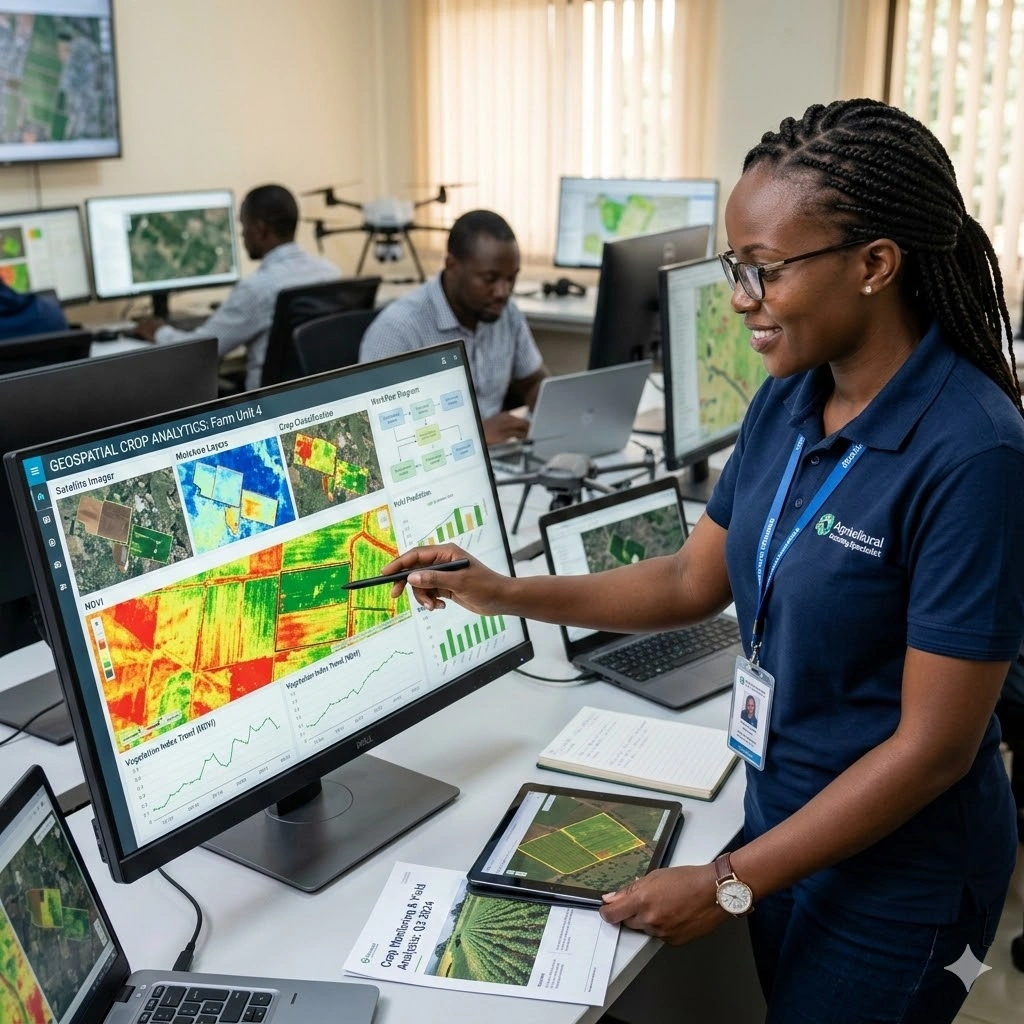
Remote Sensing Applications in Agriculture equips participants with practical skills and knowledge to leverage satellite and drone imagery for agricultural monitoring and management. The course emphasizes techniques for assessing crop health, estimating yield potential, and optimizing resource allocation to support sustainable and efficient farming practices. Participants will gain hands-on experience in acquiring, processing, and interpreting remote sensing data tailored to agricultural applications.
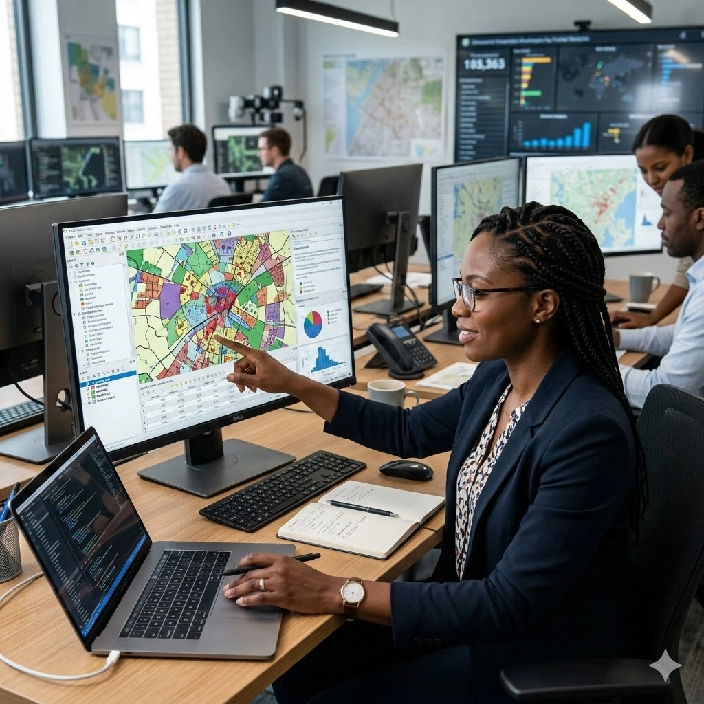
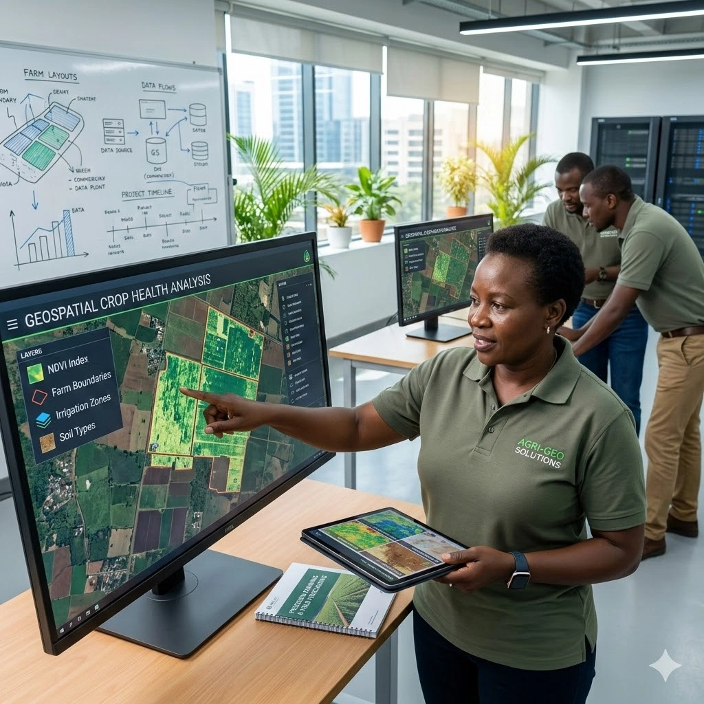
The training covers key topics such as vegetation indices, soil moisture analysis, irrigation planning, pest and disease detection, and precision agriculture methods. Participants will learn how to integrate remote sensing data with GIS platforms to enhance decision-making, monitor environmental factors, and improve farm management strategies. Real-world case studies illustrate the application of these technologies in diverse agricultural contexts, from smallholder farms to large-scale commercial operations.
Through interactive exercises and practical demonstrations, attendees will develop the skills to implement remote sensing workflows in agriculture. By the end of the course, participants will be able to use geospatial technologies to monitor crops, predict yields, manage inputs efficiently, and contribute to sustainable agricultural development.
Duration
10 Days
Who Should Attend
-
Agricultural scientists and researchers
-
Agronomists and farm managers
-
Environmental consultants and natural resource managers
-
GIS specialists and remote sensing professionals
-
Students and academicians interested in precision agriculture
-
Government and NGO professionals working in agriculture and rural development
Course Impact
Organisational Impact
-
Enhances agricultural productivity through data-driven monitoring of crops, soil, and natural resources.
-
Supports precision farming practices, reducing costs and improving yield quality.
-
Strengthens capacity to detect and address issues such as pests, diseases, and water stress early.
-
Promotes sustainable agriculture by optimizing resource use and reducing environmental impact.
-
Builds organisational expertise in applying cutting-edge remote sensing technologies to agricultural operations.
Personal Impact
-
Equips participants with practical skills in applying remote sensing to agricultural challenges.
-
Expands career opportunities in precision farming, agribusiness, research, and consultancy.
-
Builds confidence in analyzing satellite imagery and aerial data for crop health and resource management.
-
Enhances technical capacity to apply geospatial tools for sustainable and efficient farming practices.
-
Empowers participants to contribute to innovations that improve food security and rural development.
Course Objectives
By the end of this course, participants will be able to:
- Understand the fundamentals of remote sensing and its relevance to agriculture.
- Learn to use remote sensing tools and technologies for crop monitoring and management.
- Analyze remote sensing data to assess crop health, soil moisture, and other vital parameters.
- Apply remote sensing techniques to support precision agriculture practices.
- Evaluate the role of remote sensing in sustainable agriculture and natural resource management.
- Integrate remote sensing data with Geographic Information Systems (GIS) for comprehensive agricultural analysis.
- Understand the applications of satellite and drone imagery in agriculture.
- Develop skills to interpret and utilize multispectral and hyperspectral remote sensing data.
- Learn to design and implement remote sensing projects for agricultural purposes.
- Explore the latest trends and innovations in remote sensing technology for agriculture.
Course Outline
Module 1: Introduction to Remote Sensing in Agriculture
- Overview of remote sensing technology and its applications in agriculture.
- Key concepts: electromagnetic spectrum, spatial resolution, spectral bands.
Module 2: Remote Sensing Platforms and Sensors
- Types of remote sensing platforms: satellites, UAVs, and airborne systems.
- Overview of different sensors used in agriculture: multispectral, hyperspectral, thermal.
Module 3: Crop Monitoring and Management
- Techniques for monitoring crop growth and development using remote sensing.
- Identifying crop stress, diseases, and pest infestations from remote sensing data.
Module 4: Soil Moisture and Irrigation Management
- Assessing soil moisture levels using remote sensing.
- Application of remote sensing in optimizing irrigation practices.
Module 5: Vegetation Indices and Their Applications
- Calculation and interpretation of vegetation indices (NDVI, EVI).
- Using vegetation indices for yield prediction and crop health assessment.
Module 6: Precision Agriculture and Variable Rate Technology (VRT)
- Integrating remote sensing with precision agriculture practices.
- Implementing VRT based on remote sensing data for site-specific crop management.
Module 7: Mapping and Monitoring Crop Water Use
- Estimating evapotranspiration using remote sensing.
- Monitoring crop water use efficiency and drought assessment.
Module 8: Use of Drones in Agricultural Remote Sensing
- Advantages and challenges of using UAVs in agriculture.
- Practical applications of drone-based remote sensing for crop scouting and mapping.
Module 9: Satellite Remote Sensing for Agricultural Policy and Decision Making
- Role of satellite imagery in supporting agricultural policy and planning.
- Case studies on the use of remote sensing in agricultural decision-making.
Module 10: Case Studies and Future Trends in Agricultural Remote Sensing
- Real-world examples of successful remote sensing applications in agriculture.
- Exploration of emerging technologies and future trends in the field.
Prerequisites
Course Administration and Investment
Whether you join us in a physical boardroom or through our virtual campus, we’ve designed every administrative detail for a seamless, professional experience.
Our fees are all inclusive during course hours.
- Covered: High level tuition, comprehensive materials (digital + physical), mid morning and afternoon refreshments, a full executive lunch, and any scheduled study visits or site tours.
- Not covered: Travel, visa fees, medical/travel insurance, personal expenses, and accommodation.
From registration to the classroom, we keep things clear and efficient.
- Registration: Find your preferred schedule, click “Register,” complete the form, and submit. Need help? Talk to us directly.
- Pre Course Assessment: After registering, you’ll receive a diagnostic survey to help facilitators tailor content to your needs.
- Joining Instructions: Once fees are paid, you’ll receive a Delegate Welcome Pack at least 7 days before the start date (venue maps, virtual access links, and pre reading materials).
We provide premium environments optimized for adult learning and networking.
- Physical Venues: Premium 4 star and 5 star executive boardrooms across our global host cities, with high tier catering.
- Virtual Instructor Led Training (VILT): High definition, interactive platforms featuring breakout rooms, digital whiteboards, and live technical support.
- NITA and Regulatory Compliance: Administrative processes align with national training authorities.
You’ll leave with tools that extend the course value far beyond the final day.
- ForElite Learner Kit: A physical or digital course manual, proprietary templates, and a curated toolkit of industry standard SOPs.
- On Site / In App Support: Dedicated course coordinators handle technical, dietary, or logistical inquiries in real time.
We validate your commitment to excellence with internationally recognized credentials.
- Attendance Tracking: Rigorous daily logging to meet corporate and regulatory accreditation requirements.
- Verifiable Credentials: Upon successful completion, you receive a certificate of course completion.
Our relationship with you doesn’t end when the course closes.
- Feedback & ROI Reporting: Detailed post course evaluations to give sponsors clear insight into training impact.
- Alumni Network Access: Every delegate joins the ForElite Alumni Network for ongoing peer to peer learning and exclusive webinars.
When is the next intake?
UpdatedWe offer customized training solutions tailored to your organization's specific needs (location, dates, content and team size).
Talk to us and we’ll guide you on the best schedule and format for your team.
Training Methodology
We turn knowledge into results. Using our P.E.A.K. Framework (Prepare, Engage, Apply, Know), every participant leaves with practical skills they can use immediately.
Proven Impact
In the last 12 months, over 1,200 professionals have applied the P.E.A.K. Framework to reduce onboarding time by an average of 30% and accelerate project delivery across 14 industries.
The outcome: Participants don’t just learn. They gain the tools, confidence, and strategy to drive measurable impact.
Tailor-Made Training and Customization
Off-the-shelf solutions rarely fit perfectly. At ForElite Training Institute, we built our Tailor-Made Training (TMT) service to embed our expertise directly into your unique strategy, culture, and operations.
We replace generic examples with scenarios from your sector (e.g., public sector, NGOs, financial services, or logistics).
Choose a format that fits your operations: intensive 3 day bootcamps or weekly sessions that minimize work disruption.
We teach directly from your actual templates, brand guidelines, or financial reports.
Host your bespoke training in any of our 21+ global cities, or we'll send facilitators to your office anywhere in the world.
Course Reviews
Share your experience to help others choose the right course.
Leave a Review
Your review will be published after verification.
Most Recent Reviews
Showing the most recent reviews.
Training on Remote Sensing Applications in Agriculture FAQs
Quick answers to common questions about this course
You May Also Be Interested In
Explore more courses in this category
 Intermediate
 Advanced
 Intermediate
 Advanced
Intermediate
Advanced
Intermediate
Advanced
Advanced
Intermediate
Advanced
Intermediate
Advanced

SECURE YOUR COMPETITIVE ADVANTAGE TODAY.
Subscribe to the Premier Intel newsletter for weekly market insights and training updates.
About Us


ForElite Training Institute is a global institutional capacity-building and EdTech partner that empowers organizations and professionals with transformative, high-impact learning.